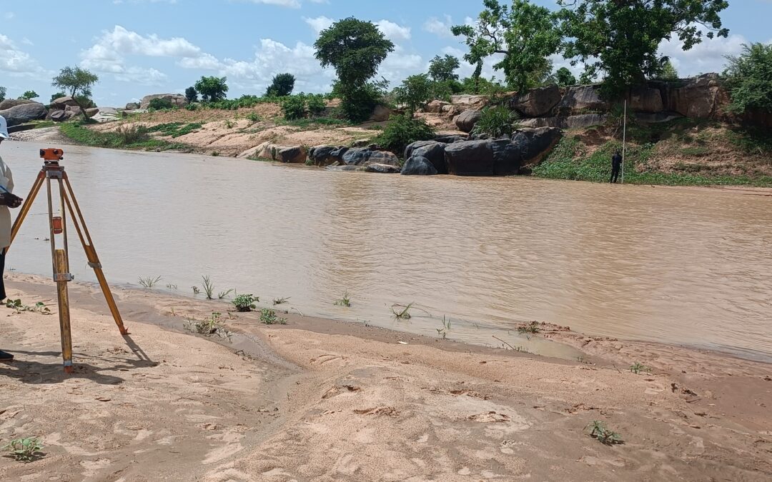
The “story of water” combines community maps, satellite imagery and novel e-PRA methods to reveal where recharge, reuse and extraction are concentrated. This piece outlines step-by-step mapping workflows and immediate opportunities for local planning.
Bridging Knowledge & Action: The Community Hydrology Approach (WELL Labs)
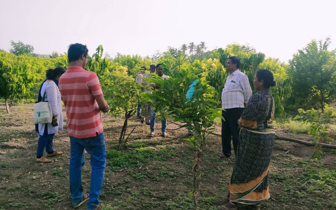
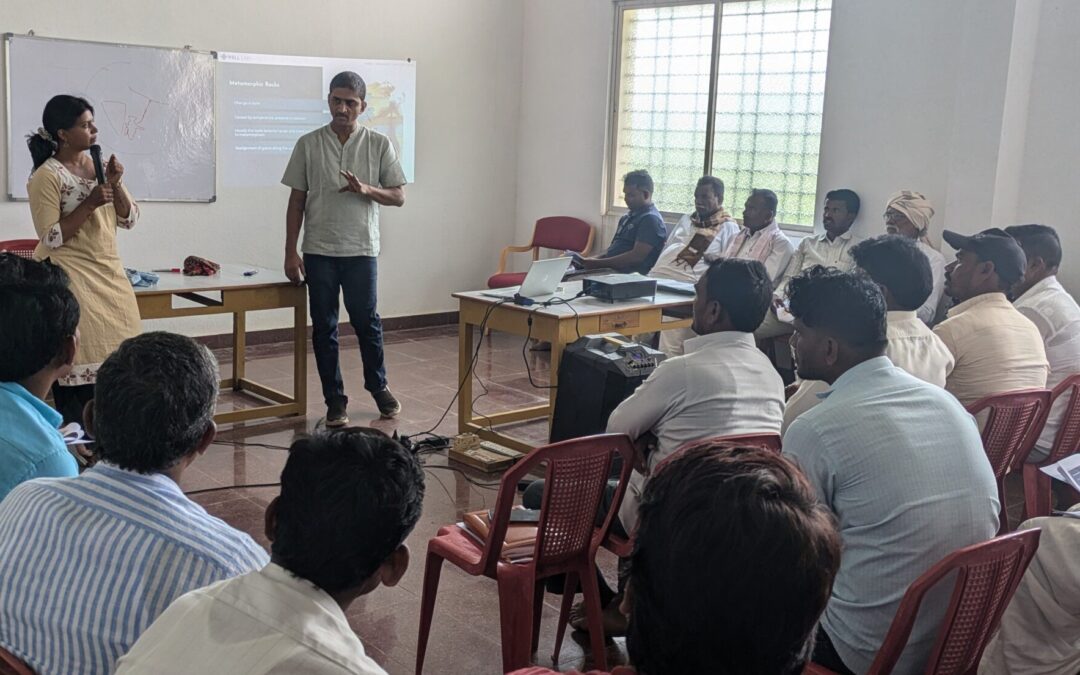
How WELL Labs’ community hydrology programme trains local monitors and turns village data into better water decisions in Raichur.